More About Plan Bay Area: The East Bay Corridors Initiative
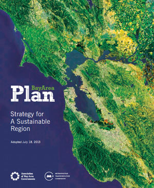 BNC eNEWS readers will recall that Plan Bay Area, approved by the Association of Bay Area Governments (ABAG) and the Metropolitan Transportation Commission (MTC) in 2013, is meant to guide the 9 counties and all cities in the SF Bay Region in planning for housing, jobs and greenhouse gas reductions for a projected population increase of approximately 2 million people through 2022. The Plan calls for local communities to designate Priority Development Areas (PDAs) where growth is to occur. These PDAs are eligible to apply for State funding to pay for the development of local plans. That’s how Berkeley received a grant of $750,000 to plan for the Adeline/South Shattuck Corridor.
Criteria for PDAs is minimal. They must be:
- within an existing community,
- near existing or planned fixed transit or serve by comparable bus service, and,
- in an area planned for (or is planning for) more housing.
Back in 2011, Berkeley designated six PDAs in our city:
- Downtown
- Telegraph Avenue
- San Pablo Avenue
- Adeline Corridor
- University Avenue
- South Shattuck Corridor
Then in April 2015, the Council entered into a Memorandum of Understanding (MOU) between participants: ABAG, Alameda and Contra Costa Counties, and the cities of Alameda, Albany, Berkeley, El Cerrito, Emeryville, Hayward, Hercules, Oakland, Pinole, Richmond, San Leandro, San Pablo, and Union City. This MOU is titled “The East Bay Corridor Initiative” and its purpose is to define the:
shared goals and objectives of these local and regional agencies working collaboratively to enhance livability, mobility and economic prosperity within the Corridors, and establish the necessary administrative and governance structure to promote a cooperative relationship and for ensuring success of the Initiative.
Per the MOU, Plan Bay Area predicts Corridor PDAs will grow at a faster rate than the region as a whole and that compared to the region as a whole, residents of Corridor PDAs have:
- lower household incomes,
- suffer more from poor air quality and other adverse environmental impacts,
- are at higher risk during natural disasters, and are
- subject to displacement risk from rising housing costs.
In 2013, staff from the Participants divided the East Bay Corridor into two segments:
- The Oakland-Union City Corridor: Oakland, San Leandro, Hayward, Union City and Alameda County.
- The San Pablo Corridor: Oakland, Emeryville, Berkeley, Albany, El Cerrito, Richmond, San Pablo, Pinole, Hercules and Contra Costa County.
Participants, ABAG and “other agencies” will engage in working groups regarding strategies for implementing local PDAs and “regional planning objectives for each segment of the Corridor.” The MOU goes on to state:
This will set the stage for engagement with city leadership, development of partnerships with the non-profit and business communities, and obtaining funding to carry out the strategies.
Frankly, BNC doesn’t know exactly what all of this means, and since residents were locked out, inadvertently or otherwise, of the opportunity to make comments regarding Plan Bay Area when it was first adopted, and then specifically locked out of access to meetings regarding the East Bay Corridors Initiative, it will be hard to find out. However, we will try and certainly let you know as we go along.
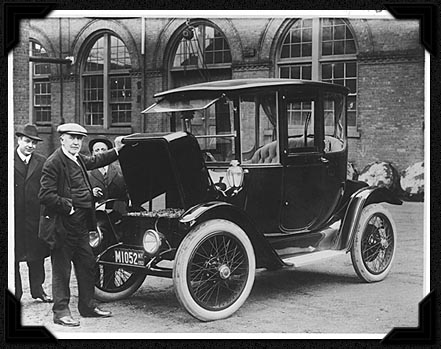
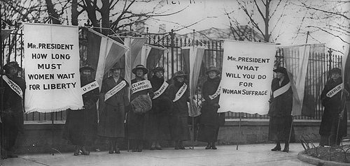 Back to the subject at hand, even with those gains in 1919, getting the vote for women still wasn’t finished. Hundreds of women were injured when they marched in protest on the eve of Woodrow Wilson’s inauguration. Wilson favored women’s suffrage at the state level, but didn’t support a Constitutional Amendment because the Democratic Party was sharply divided, with the South opposing on the grounds of state’s rights. In any case, the only Southern state to give women the right to vote was Arkansas. President Wilson is believed to start having a change of heart when a 1917 referendum in New York State favored women’s suffrage and when he recognized the role that women played in World War I. In January 1918, Wilson went in person to the House and made a strong and widely published appeal to the House to pass the resolution. It passed but the Senate fell two votes short, until 1919, when it finally passed handily. Yet even then, the task still wasn’t finished because the final hurdle of obtaining agreement of three-fourths of the states needed to be accomplished before the Constitution could be amended.
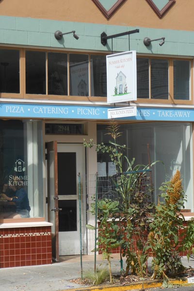 As we have previously indicated, this Section will include not only reviews of neighborhood food businesses throughout Berkeley, but also news about food products or services that our reviewers find interesting. On occasion, we might even offer a recipe or two. Our reviewer will always be anonymous, and usually, a resident of Berkeley. We accept reviews from our readers — send to